What kind of round and point-to-point hikes tips are you looking for in Zugspitz Region?
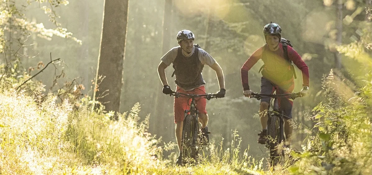
Hiking
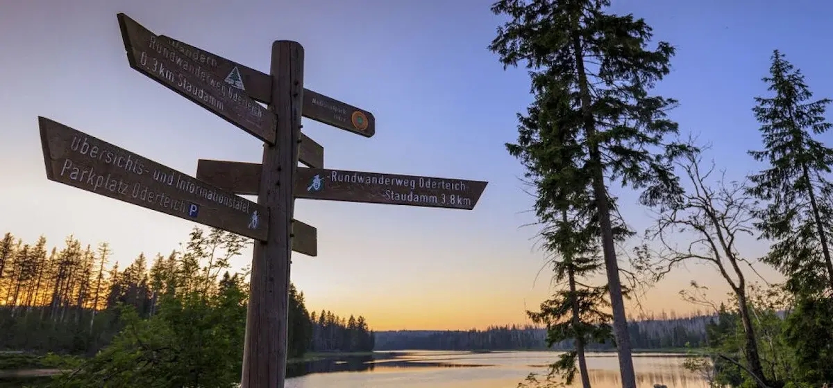
Hiking by using public transportation in the Zugspitze region around Garmisch-Partenkirchen, Mittenwald, Murnau and Oberammergau.
642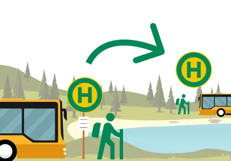
Point to point tour hiking
If you drive by car, you have to go back to the starting point; with public transportation, you have more flexibility! You can easily reach these trailheads by public transportation, and you can just take public transportation back from your hiking destination.
328
Multi-day hikes
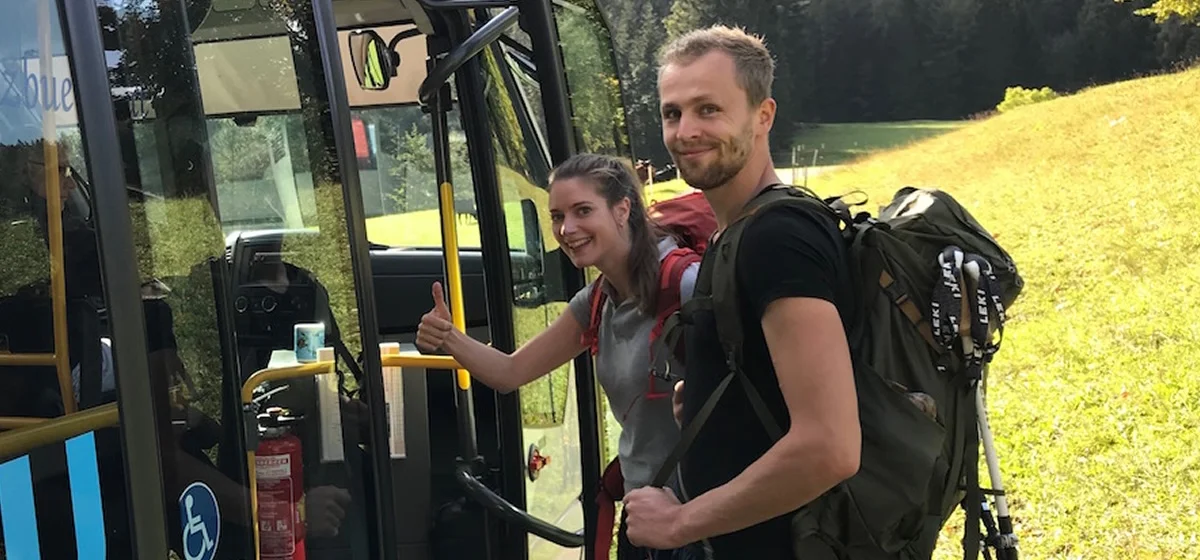
There's more to it than that! Pack your backpack, breathe in the mountain air, count the stars—and travel there and back in an eco-friendly way by bus and train.
92
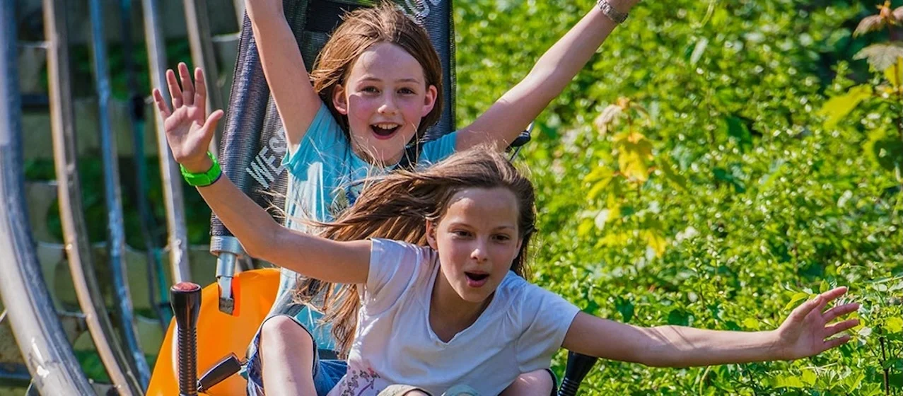
Family Tours
Family tours and bike rides that are fun without being too challenging. With plenty of highlights along the way, boredom is left behind.
52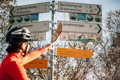
Themed tours
Whether you're exploring the nature trail or following in the footsteps of the Romans, you'll not only stay fit here, but you'll also learn something new!
72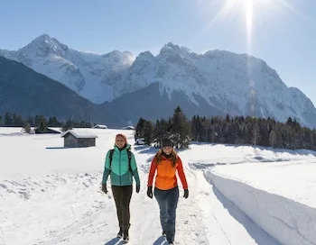
Winter hiking
It'll warm you right up. And at the mountain hut, inn, or café, you've earned a nice break!
35Don't miss these!
Our tips for hikes – handpicked and all easily reachable by bus & train without many transfers.
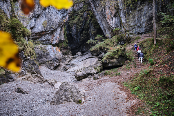
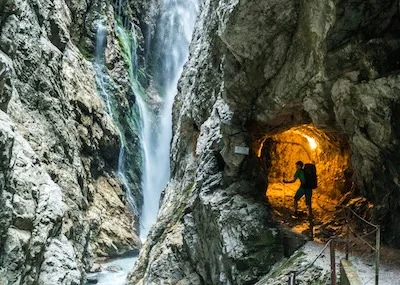
Asamklamm
Die Asamklamm mit ihren schroffen und steilen Felswänden bietet ein beeindruckendes Naturerlebnis.
Details & route planning →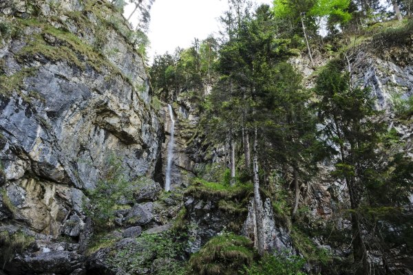
Wasserfall Rundweg Oberau
Schöner Rundwanderweg zum Wasserfall Oberau
Details & route planning →
Genuss-Wanderung entlang des Kramerplateauwegs
Starting from Grainau via Höhenrain, Kramerplateauweg, Pflegersee and via the castle ruins
Details & route planning →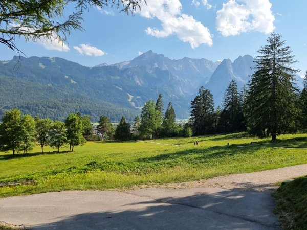
Genuss-Wanderung entlang des Kramerplateauwegs
Starting from Grainau via Höhenrain, Kramerplateauweg, Pflegersee and via the castle ruins
Details & route planning →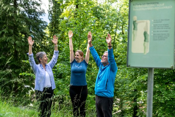
Breathing trail circular tour
‘Healthy by nature": several Kneipp pools and an educational breathing trail in Partenkirchen.
Details & route planning →
Olympia circular route
A cultural and historical walk takes you back to the time of the 1936 Winter Olympics.
Details & route planning →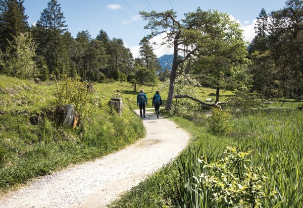
Hike to the Eibsee and with the mountain railway to the Zugspitze
An enjoyable hike along plateau paths from Garmisch-Partenkirchen and Grainau to the Eibsee.
Details & route planning →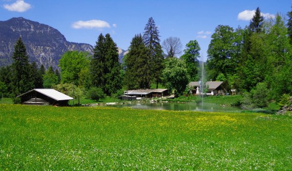
Via Kochelberg Alm to Partnachalm
This hike leads across gentle alpine meadows along the Hausberg to two mountain pastures.
Details & route planning →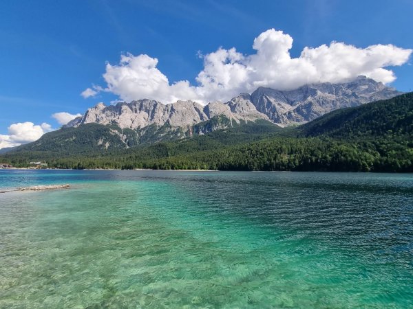
The Eibsee circular trail at the foot of the Zugspitze.
A picturesque, varied trail with beautiful views of the lake and through dense forests.
Details & route planning →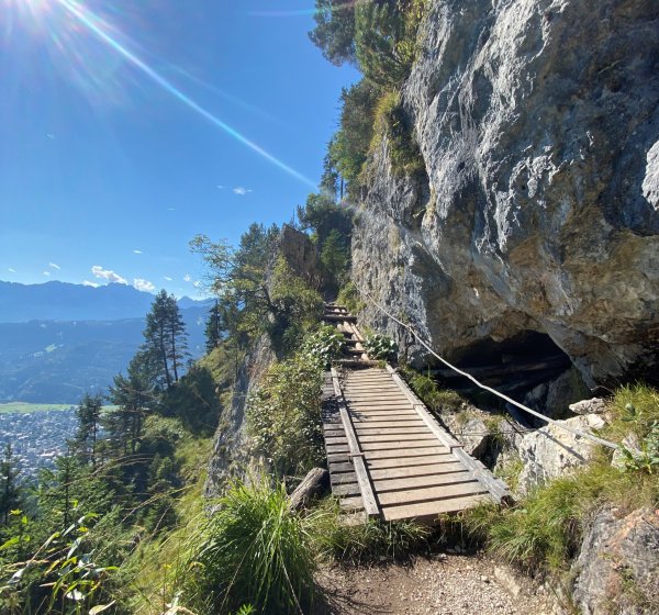
Via St. Martin at Mount Grasberg to the “Königsstand” (Mount Kramer)
Wanderung über die St. Martins Hütte und der Felsenkanzel, zum Königsstand.
Details & route planning →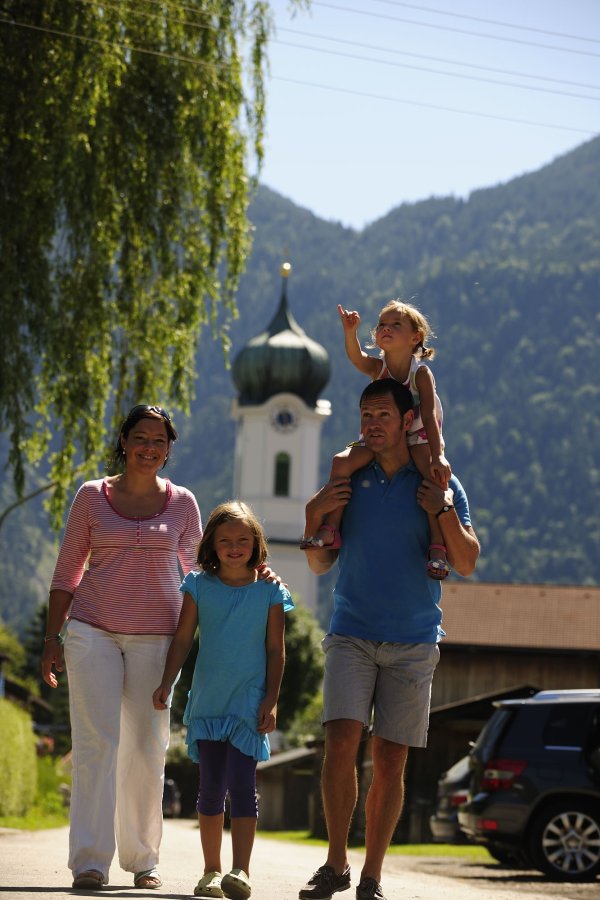
Heuberg-Rundweg
Bequemer Rundwanderweg ohne Steigungen
Details & route planning →
Hiking in the healing climate from Kochelbergalm to Riessersee
A diverse experience with panoramas, nature, and a bit of history.
Details & route planning →Looking for more tips in Zugspitz Region? On our homepage, you'll find all the categories and places to visit – all easily reachable by bus and train.
Plan your trip now Pick your destination, we'll find the best connection – based on current transit timetables.Frequently asked questions about hikes in Zugspitz Region
How do I find hikes reachable by bus & train with NaturTrip Zugspitz Region?
Want to hike without a car and save both the climate and your nerves? With NaturTrip Zugspitz Region you can easily find hikes with bus and train access – tailored to your location.
Visit zugspitz-region.naturtrip.app and choose a category such as Hiking, Point to point tour hiking, Multi-day hikes, Family Tours, Themed tours, Winter hiking. Then enter your starting point (e.g. Murnau am Staffelsee) or use automatic location detection. On the interactive map you immediately see which tours are easy to reach by public transport from your location.
"Easy to reach" means for NaturTrip:
- maximum 2 transfers
- at most 20 minutes walk to the stop
- at most 20 minutes walk from the stop to the trailhead
Use the filter to refine your search – for example by difficulty or tour duration, but also by travel mode, maximum transfers or travel time for your journey.
That way you quickly find tours that are realistic and relaxing to do without a car.
What types of hikes are available on NaturTrip Zugspitz Region?
On NaturTrip Zugspitz Region you find a wide selection of hikes for every level:
- easy tours with little elevation gain
- challenging hikes
- family-friendly routes with adventure value
- themed hikes (nature, culture, history)
All tours come from regional tourism organisations. What this means for you:
- certified quality
- official and well-signposted trails
- no user-generated content
So you can rely on solid, trustworthy tour planning.
Are there also point-to-point hikes (A to B) reachable by public transport?
Yes – NaturTrip is especially strong at point-to-point tours (A to B).
This means: you start at one location and end somewhere else – without having to walk back.
How it works: If you're looking for e.g. a 3-hour hike, NaturTrip only shows tours where:
- the starting point is well reachable by bus and train
- there is still a suitable return connection at the end after the duration of the hike
Advantage: Public transport gives you more flexibility than a car – you don't have to return to your starting point but can discover new paths.
Which travel modes does NaturTrip support in Zugspitz Region?
In Zugspitz Region NaturTrip lets you choose between the following travel modes: bike, public transport (bus & train), walking.
This way you'll find round and point-to-point hikes that match your preferred way of getting around – whether climate-friendly by bus & train, by bike, or combined.
You can change the travel mode any time in the filter – NaturTrip then only shows tours that are realistically reachable with your preferred mode.
How to discover car-free hikes in 5 steps
Finding and planning car-free round and point-to-point hikes with NaturTrip is easier than you think. Reach them comfortably by bus and train – without transfers if you like.
-
Open NaturTrip Zugspitz Region
Go to the homepage and select a category from the hikes section.
-
Enter your starting point
Enter your accommodation, your home, or your current location as the starting point.
-
Results list with public-transport overview
NaturTrip Zugspitz Region now shows you all hikes that are well reachable by bus & train from your location at the current time.
Including an overview of:
- how long it takes to reach each suggested tip
- which modes of transport you'll use
- how many transfers are required
-
Optional: adjust the filter settings
Departure time settings:
- Date and time can be set in the future.
hikes settings:
- Difficulty: easy, moderate or difficult
- Duration: 30 minutes up to 10 hours
Bus & train arrival settings:
- Maximum travel time: 15 minutes up to 2.5 hours
- Maximum transfers: direct connection, max. 1 transfer, or max. 2 transfers
- Travel mode: bike, public transport (bus & train), walking
-
Pick hikes and check the connection
Found suitable hikes in the results list? Simply click – in the details you'll find the route description, photos, the GPX track for download and further tour properties.
As a final step, click the "Arrival" button to see all bus and train connections for the hikes from real-time timetable data – clearly displayed on the map and as a detailed journey timeline showing all stops, transfers, walking times and departure times.
Just pick your tour and head out – climate-friendly, no car needed!
Go hiking by bus & train from the main towns in Zugspitz Region
Many round and point-to-point hikes in Zugspitz Region are easily accessible by public transport. Not just from larger towns – there are direct connections to popular trails from many stops. Go hiking by bus & train…
- from Garmisch-Partenkirchen Bahnhof
- from Mittenwald Bahnhof
- from Oberammergau Bahnhof
- from Farchant Bahnhof
- from Grainau Bahnhof
- from Murnau am Staffelsee Bahnhof